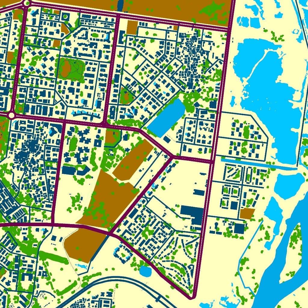
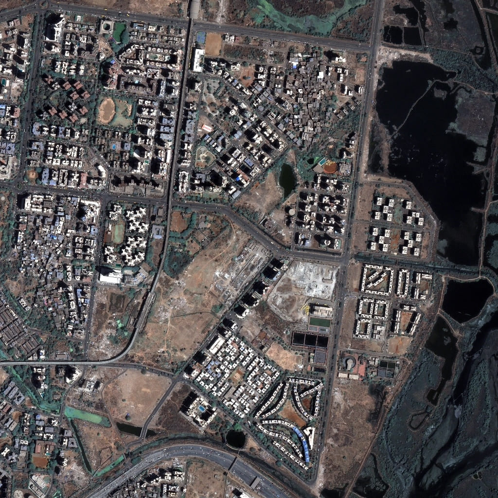
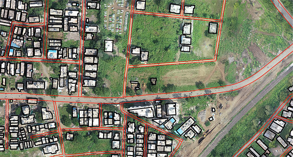
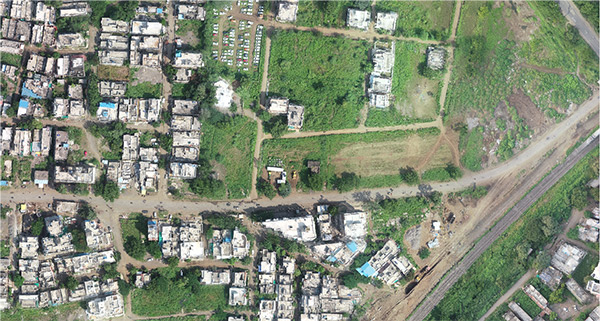
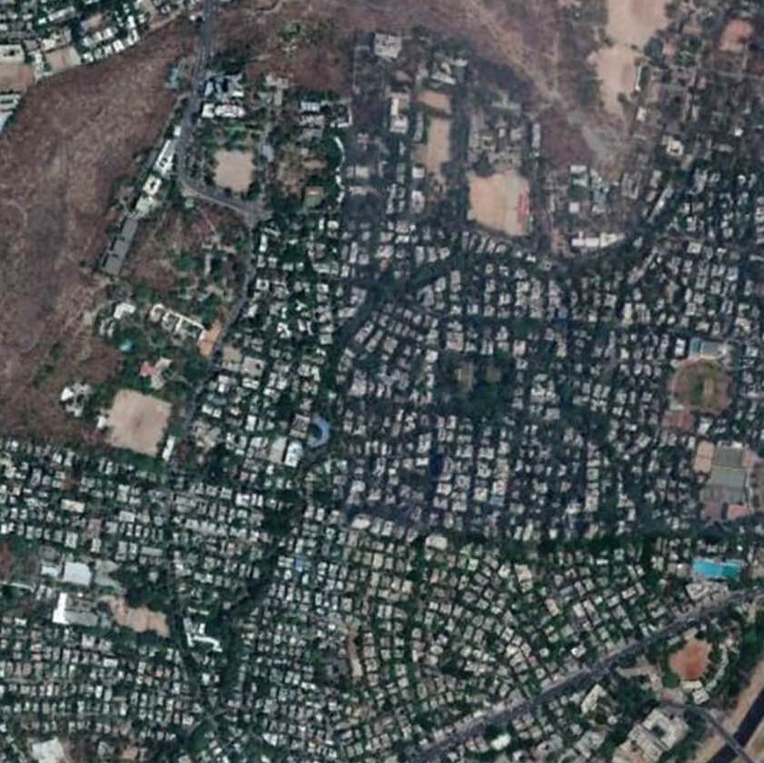
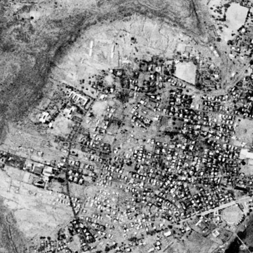
URBAN APPLICATIONS
AI Driven sustainability
Satellite based earth observation data is increasing exponentially and does play an important role in updating, creating and maintaining intelligence. Automation in generation this digital data cuts the gaps in accuracy, reduces costs, drastically reduces time to delivery and hence become a stable repeatable process. An automated process means that analysis can happen on cloud and aid planning, processing, execution and sustainability to a last detail.